
Land Cover Map (1km summary rasters, GB and N. Ireland)
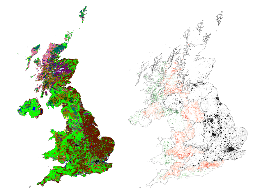 The 1 km summary pixel datasets represent the land surface of Great Britain and Northern Ireland, classified using two classification schemas, target and aggregate classes. The target class schema comprise 21 UKCEH land cover classes based upon Biodiversity Action Plan broad habitats. The aggregate class schema comprises ten aggregate classes that are groupings of the 21 target classes. The aggregate classes group some of the more specialised target classes into more general classes. For example, the five coastal classes in the target class are grouped into a single aggregate class.
 The 1km percentage products provide the percentage cover for each of the 21 land cover classes for 1km x 1km pixels. These products contain one band per habitat class, producing 21 and 10 band images for the target and aggregate class products respectively. The 1km dominant coverage product is based on the 1km percentage product, and reports the land cover class with the highest percentage cover for each 1km pixel. A full description of this and all UKCEH LCM products are available from the respective year's product documentation.
This collection contains these resources
publishedDataset
Land Cover Map 2022 (1km summary rasters, GB and N. Ireland)
publishedDataset
Land Cover Map 2023 (1km summary rasters, GB and N. Ireland)
publishedDataset
Land Cover Map 2018 (1km summary rasters, GB and N. Ireland)
publishedDataset
Land Cover Map 2019 (1km summary rasters, GB and N. Ireland)
publishedDataset
Land Cover Map 2021 (1km summary rasters, GB and N. Ireland)
publishedDataset
Land Cover Map 2017 (1km summary rasters, GB and N. Ireland)