
Climate hydrology and ecology research support system [CHESS]
(CHESS)
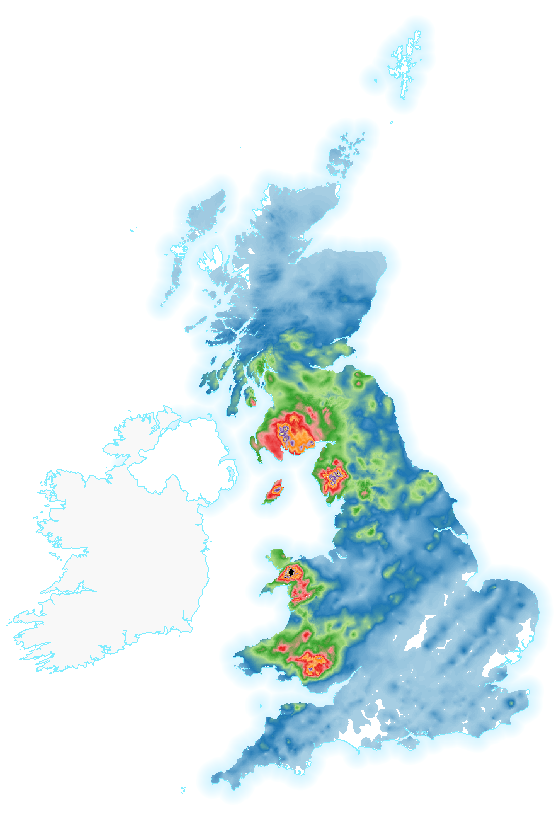 The Climate hydrology and ecology research support system (CHESS) provides high-resolution gridded datasets for environmental research. These datasets include data for driving land surface models and hydrological models, as well as model output.
 Currently CHESS contains three datasets; CHESS-met, CHESS-PE and CHESS-land. CHESS-met consists of eight meteorological variables at 1km resolution daily from 1961-2015 over Great Britain, which can be used to drive the JULES land surface model. CHESS-PE consists of two estimates of evaporative demand over the same temporal and spatial resolution, calculated from the CHESS-met data. CHESS-land consists of a set of water, energy and carbon fluxes at 1km spatial resolution, and both daily and monthly temporal resolution, from 1961-2015 over Great Britain. CHESS-land resulted as output from an integration of the JULES land surface model driven by CHESS-met.
This collection contains these resources
publishedDataset
Climate hydrology and ecology research support system potential evapotranspiration dataset for Great Britain (1961-2019) [CHESS-PE]
publishedDataset
Climate hydrology and ecology research support system meteorology dataset for Great Britain (1961-2019) [CHESS-met]
publishedDataset
Water, carbon and energy fluxes simulation for Great Britain using the JULES Land Surface Model and the Climate Hydrology and Ecology research Support System meteorology dataset (1961-2015) [CHESS-land]